


The Area: A Brief Water History of the San Luis Valley
The San Luis Valley in southern Colorado covers nearly 8,000 square miles at 7,600 feet above sea level - the largest high mountain desert in North America. The “Valley” is bordered by the Sangre de Cristo Mountains to the east (some reaching over 14,000 feet in elevation) and the San Juan Mountains to the west. These mountain peaks hoard moisture-laden clouds and leave precious little precipitation to fall on the valley floor – only about 7-8 inches annually. Melting mountain snows feed the Rio Grande River (the third longest in the U.S.) as it flows through the valley and then southward toward New Mexico and the Texas/Mexico border.
The Problem
In 1967, the Rio Grande Water Conservation District was formed to “protect, enhance, and develop water resources in the Rio Grande River basin.” In 2006, Subdistrict #1 of the Rio Grande Water Conservation District was created to mitigate rapidly declining groundwater levels caused by prolonged drought and increased groundwater pumping. Subdistrict #1 has strived to develop sustainable solutions to the groundwater problem but increasing annual assessments have caused a group of vegetable producers in the northern part of the San Luis Valley to pursue their own pathway to groundwater sustainability.
What is an Augmentation Plan?
Colorado has a very strict water rights system, probably the most restrictive in the U.S. It evolved in the 1860s during the Colorado Gold Rush and later evolved into the concept of “first in time, first in right.” In 1876, this was more formally called the Doctrine of Prior Appropriation and became part of the Colorado Constitution.
Calendar
Agendas and Minutes
Your Water Account
Efficent Water Use
About Us
In 2024, the Southern Colorado Water Conservancy District (SCWCD), based in Center, Colorado, was created to allow its member growers to continue to irrigate over 17,000 acres of land at lower costs than are anticipated under local groundwater subdistrict programs. The SCWCD has twelve members and 257 Irrigation wells. Primary irrigated crops include potatoes and alfalfa, much of it organic. The creation of the SCWCD was a business decision for the group since most rely primarily on shallow (unconfined) groundwater for their irrigation water supply.
Plan For the Future
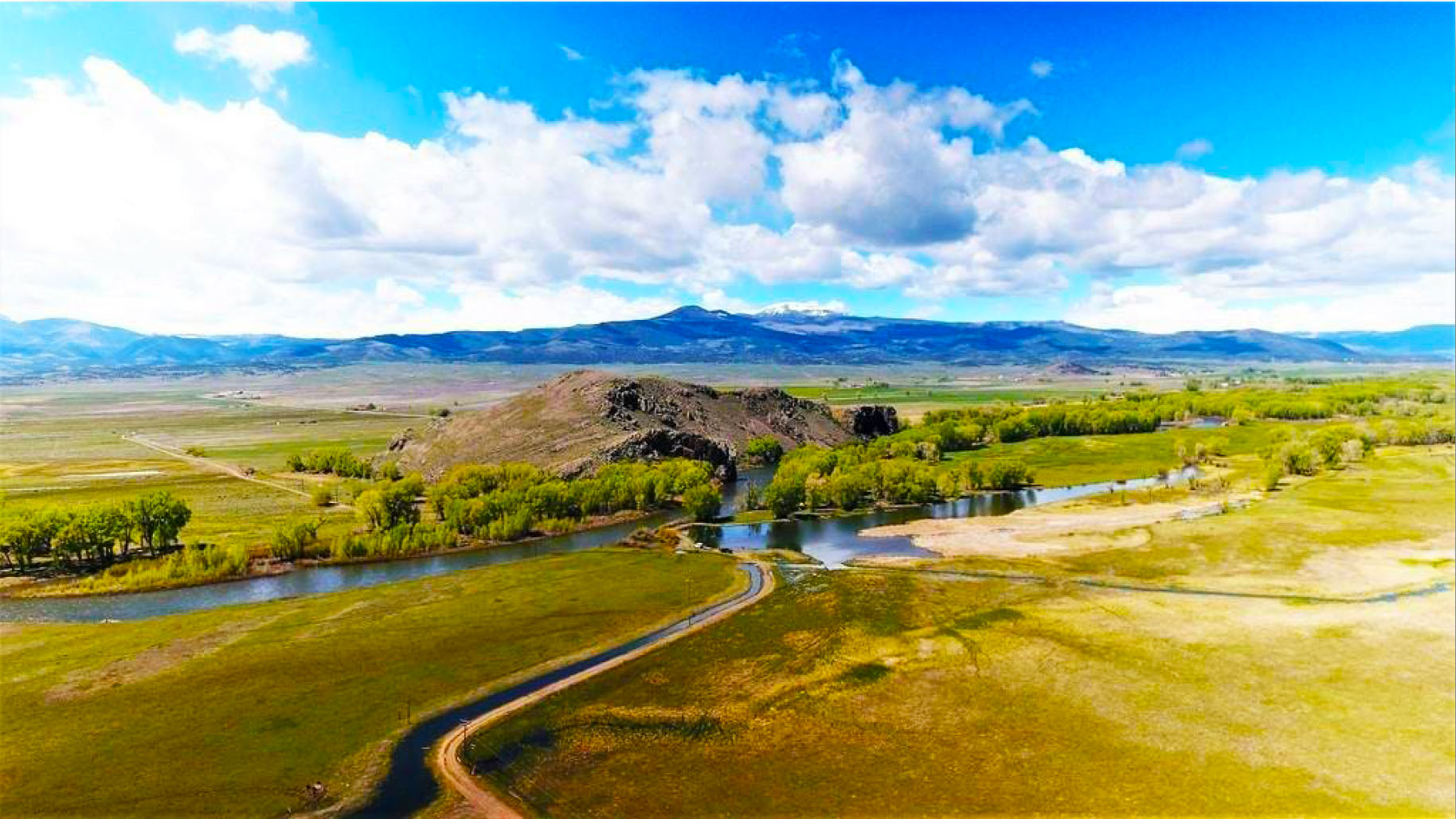
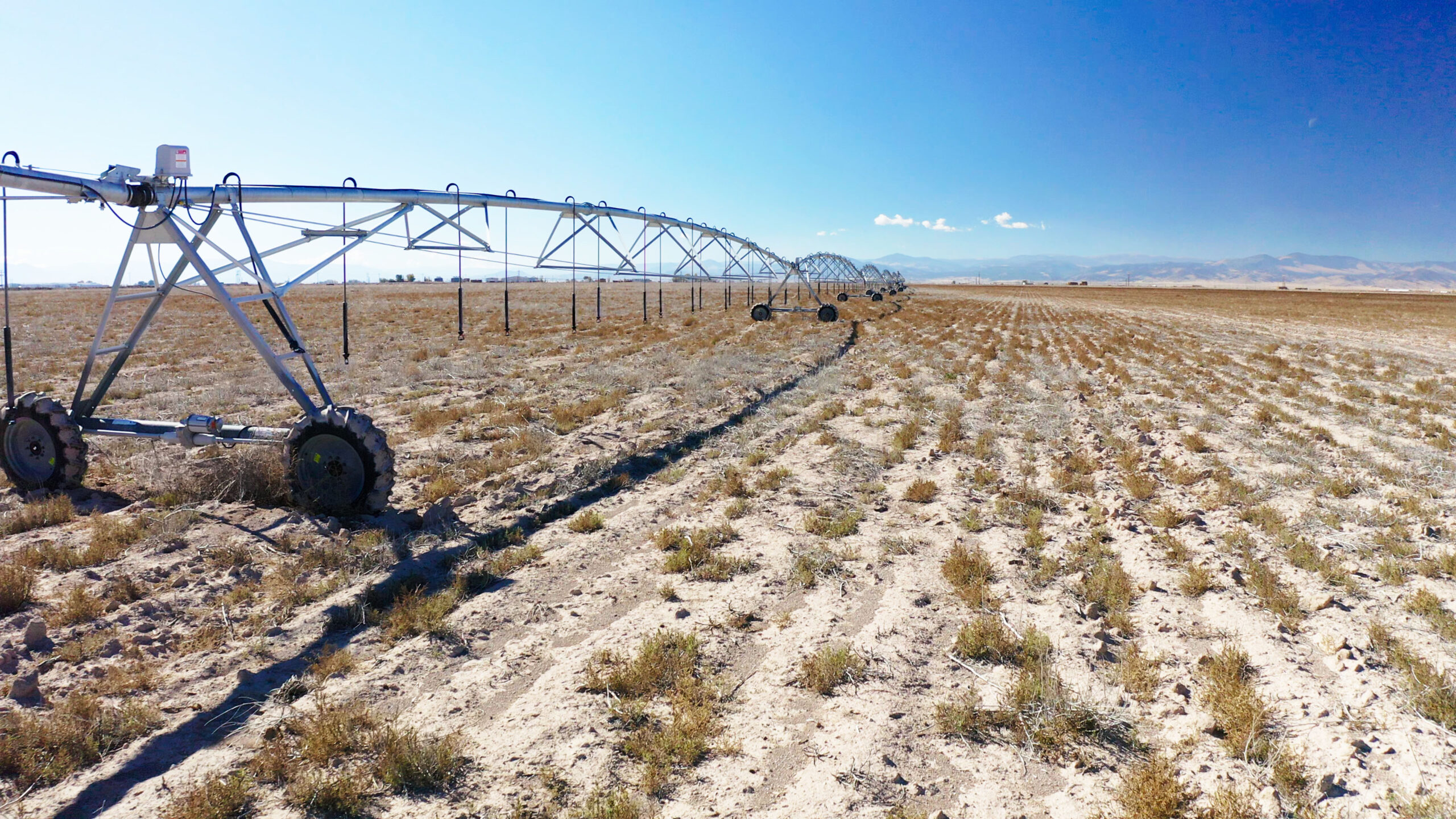
The Sustainable Water Augmentation Group, Inc. (SWAG) has purchased the 574-acre Shadow Ranch located six miles northwest of Del Norte, Colorado. The property includes two center pivot irrigation systems, senior water rights from the Atkins Ditch, junior water rights from Meadow Glen and Voss Seepage ditches, and one-half mile of prime river frontage along the Rio Grande River.

The Gladstone Ranch property is located approximately six miles northeast of Center, Colorado, and contains over 6,000 acres of land of which most was recently irrigated and under production. In 2022, the SWAG group acquired a lease/purchase option on the property to continue to cease irrigation of the property to reduce groundwater pumping impacts to the Rio Grande River and its unconfined aquifer. This reduction in groundwater pumping will be a component of the SCWCD augmentation plan to reduce depletions.

In 2025, the Shadow Ranch Recharge Project was developed to divert water from the Rio Grande River, through the Atkins Ditch. It will then be pumped upgradient through 240 feet of pipeline to the excavated recharge site. River water will be recharged when available to “retime” return flows to the Rio Grande River. This method of augmentation has been used extensively in the South Platte River Basin of northeast Colorado.
